Trousso Gorge
Trousso Gorge
South of Kazbegi, Trousso Valley stretches 22 km along travertine deposits, abandoned villages and medieval towers, following Georgia's Military Road.
The Trousso Valley opens 20 km south of Kazbegi, in the Greater Caucasus, at the immediate border with South Ossetia. This 22 km gorge, crossed by the Tergi (Terek) River, concentrates colorful travertines, carbonated mineral springs, abandoned villages and medieval towers. Access is from the Georgian Military Road connecting Tbilisi to Vladikavkaz, one of the Caucasus's historic routes.
Why visit Trousso Valley
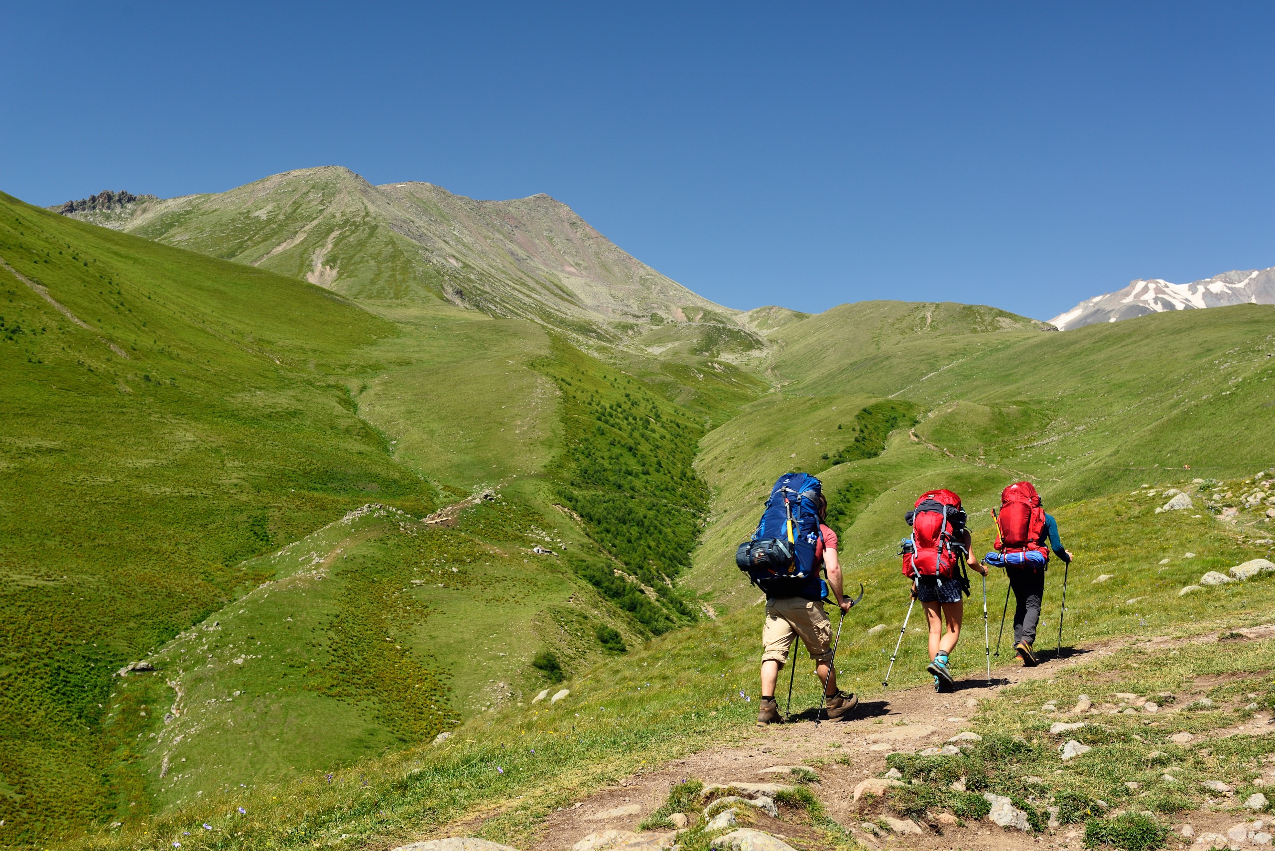
The valley combines three interests rarely found on the same hiking itinerary: spectacular mineral relief (white, yellow and orange travertines formed by carbonated springs), abandoned built heritage (Zakagori fortress, deserted hamlets) and a border position that long restricted access. The terrain remains relatively flat along the river, making the walk accessible to occasional hikers, while loops to alpine lakes will satisfy experienced trekkers.
Unlike the busiest sites in the Georgian Caucasus, Trousso retains an austere, largely undeveloped atmosphere. The area has been open for free visits since 2015 to the villages of Abano, Zakagori, Ketrisi and the travertine zone.
A brief history
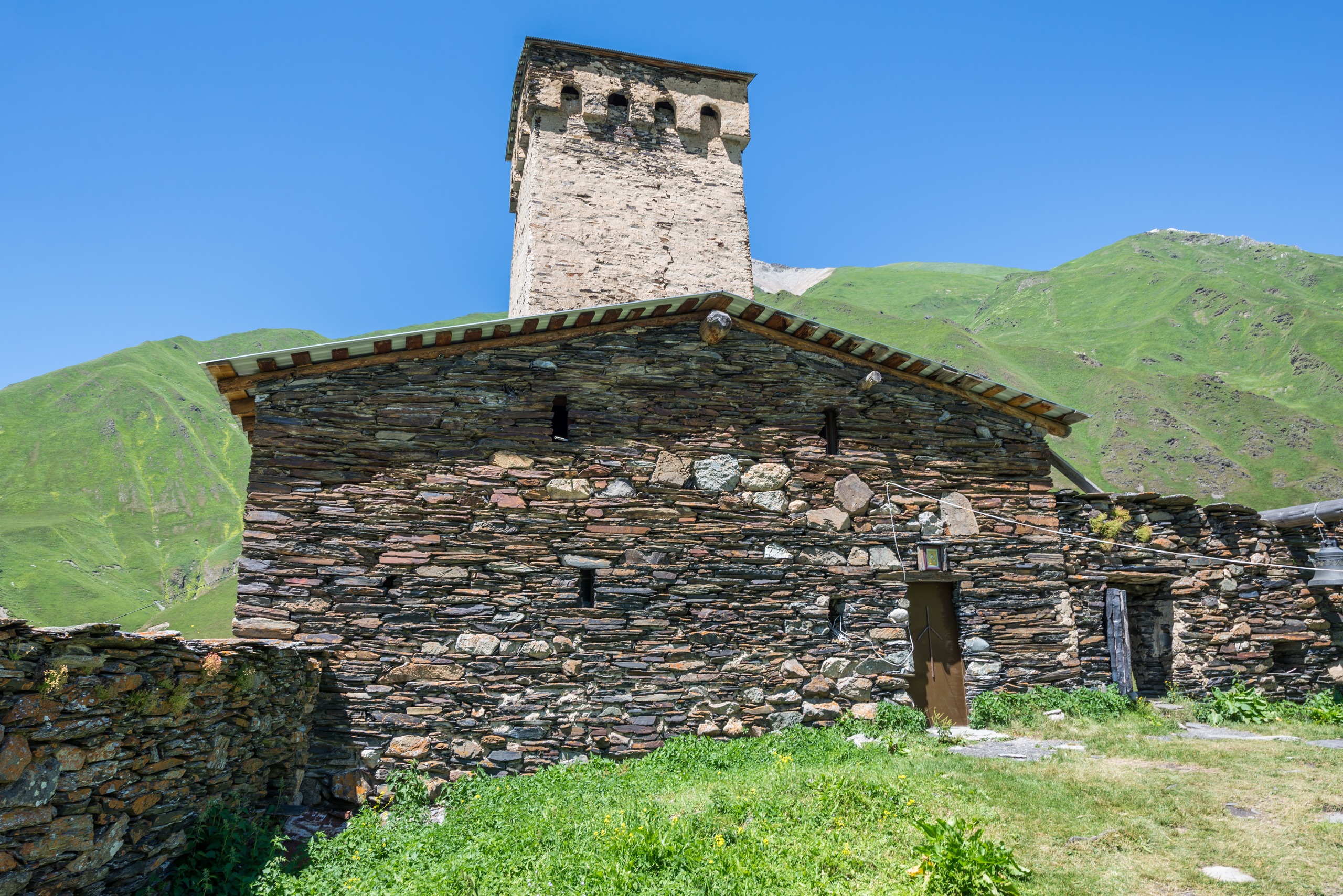
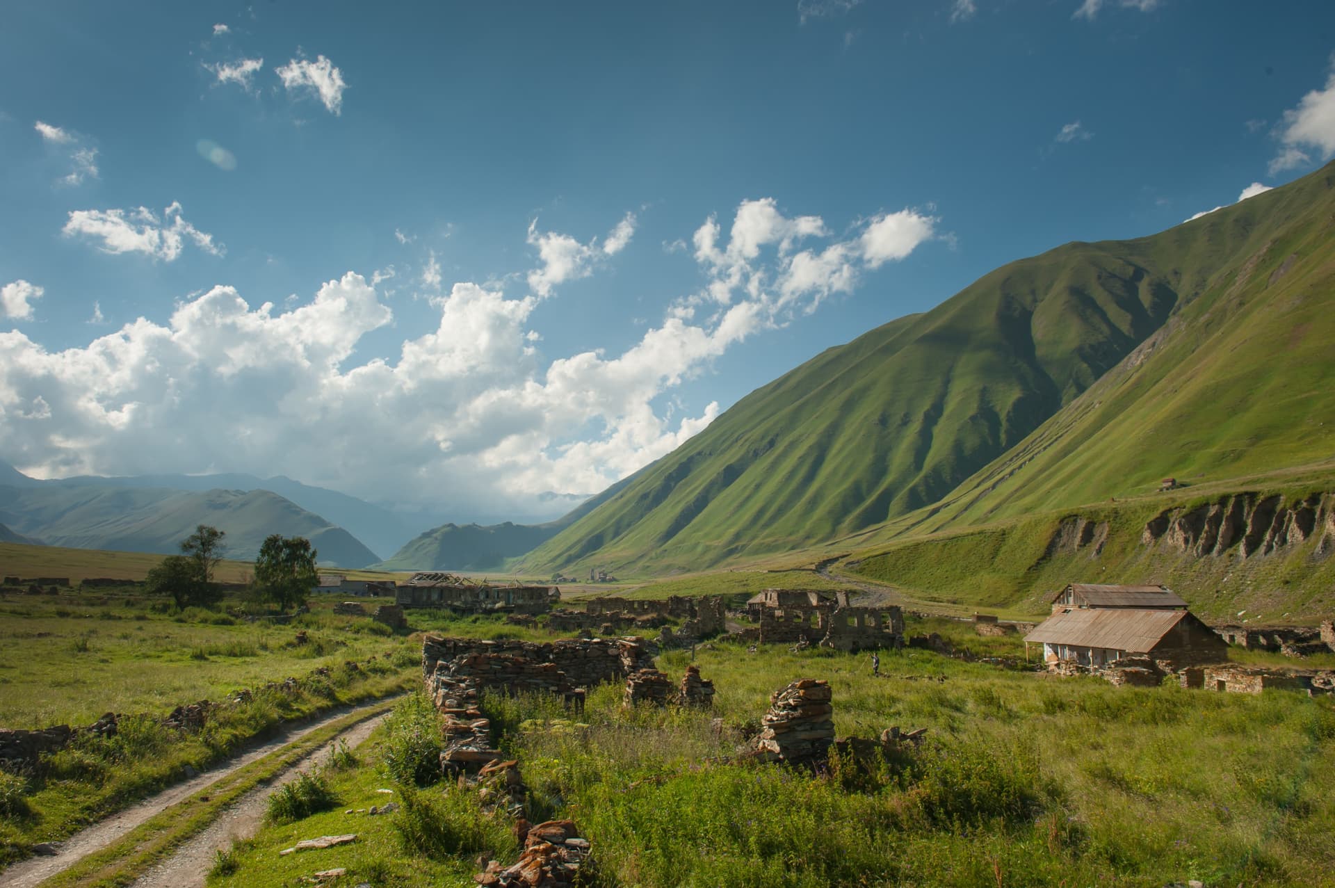
The valley belongs to the historic region of Khevi, Georgia's mountainous frontier that controlled northward passage. Today's abandoned villages — Ketrisi, Zakagori, Abano, Resi (2,350 m) — testify to permanent settlement until the 20th century, gradually abandoned as populations shifted and the South Ossetian border closed militarily following conflicts in the 1990s and 2008.
The Zakagori Castle, perched above the valley floor, preserves remains of a guard post built beneath the structure. Several dwelling towers and chapels dot the route, some hastily restored, others left to vegetation. Recent free access has enabled the return of hiking tourism, but without heavy development: the valley remains wild and largely quiet.
What to see in the gorges
Kasari Canyon and the first travertines
Starting from the nearly deserted village of Kvemo Okrokana, the path follows the river to Kasari Canyon. Here appear the first orange and white travertine deposits, left by carbonated mineral springs that seep from the rock. A small natural pool of cold water sits on the opposite bank.
The "geyser" and Zakagori Fortress
Further up the main path, a site locals call the "geyser" features a cluster of red travertines in formation, mineral water spouting from a discharge pipe. The walk continues to the ruins of Zakagori Fortress, accessible on foot. Allow approximately 6 hours round trip from Kvemo Okrokana to reach the fortress and return.
Abandoned villages
On foot or by mountain bike, the route passes the deserted hamlets of Ketrisi, Zakagori and Abano. Beyond Ketrisi, a bridge crosses the river and leads to several small chapels, one painted pink. The valley floor and Georgian border post remain inaccessible to visitors.
For experienced hikers
Seasoned walkers can extend their effort to the alpine lake on the Keli plateau or attempt the climb to the alpine lake on the Mna Gorge side, which rises to 3,300 m. These routes require a full day and high-altitude gear.
Mountain cuisine
In the few guesthouses in the area, you'll find khabidzgina, cheese bread typical of Georgian mountains, khachapuri (dough filled with cheese or potatoes) and soulgouni, local cow's milk cheese.
Practical information
- Required document: identification card or passport to present at the control post.
- Permit: not required for Abano, Zakagori, Ketrisi and the travertine zone since 2015. A permit remains necessary for hiking in the Dariali Gorges.
- Difficulty: moderate to the fortress, challenging for alpine lakes.
- Water: carbonated mineral springs are numerous; still bring drinking water.
- Accommodation: no facilities in the valley itself; base in Stepantsminda (Kazbegi).
When to go
The visiting season runs from May to November. Spring and early summer cover the valley in yellow and white flowers; autumn offers color contrasts on birches. July and August see peak traffic: it's wise to book accommodation and transport the evening before. Outside this window, snow makes the path impassable.
How to get there
The official entrance to the valley is in the village of Kobi, on the Georgian Military Road, about 20 km south of Kazbegi. However, it's better to start your walk from the village of Kvemo Okrokana, 4 km lower in the gorge.
- Marshrutka: local shared transport from Stepantsminda, drop-off possible at Kobi upon request to the driver.
- Taxi: most flexible option from Stepantsminda, to be negotiated on site (moderate rate).
- Daily bus: seasonal connection from Stepantsminda to Kvemo Okrokana, with return in late afternoon. Limited frequency and departure dependent on a minimum number of passengers.
- Private 4x4: recommended to save time on the path, especially at the start or end of season.
Nearby attractions
Trousso fits into a multi-day program around Kazbegi. Must-see sites:
- The Stepantsminda Historical Museum, housed in the birthplace of writer Alexander Kazbegi (1848-1890), with its library, ethnographic artifacts from Khevi and religious relics.
- The Gergeti Trinity Church complex, 6 km from Stepantsminda in the village of Gergeti (2,200 m): 14th-century Holy Trinity Cathedral, 14th-century bell tower and 15th-century clergy houses. Accessible by 4x4 or on foot via a mountain trail.
- The Gveleti Waterfall ("place of serpents" in Georgian), accessible via the Dariali Gorges north of Kazbegi.
Frequently asked questions
Frequently asked questions
Plan your trip
Trousso Valley naturally fits into a circuit in Georgia's Greater Caucasus combining Kazbegi, Gergeti and the Military Road. To build your custom itinerary, explore our Georgia travel suggestions.
Interested in this visit?
We can include it in your personalised itinerary.